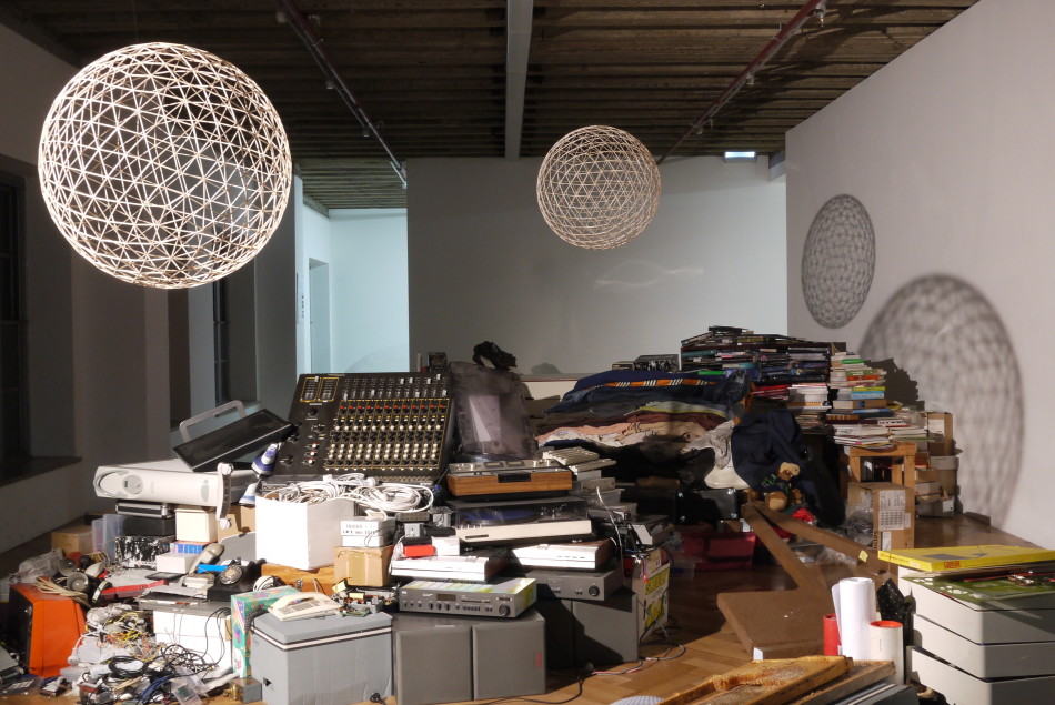
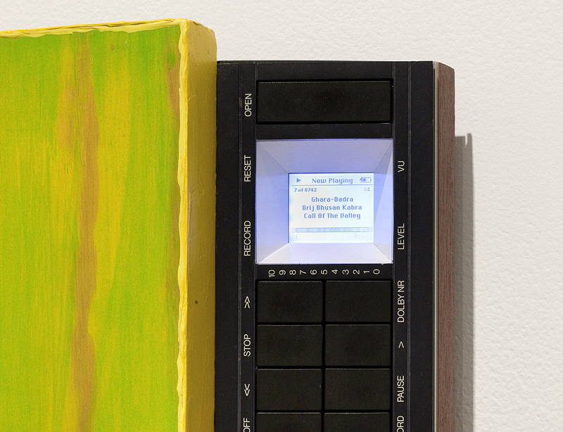
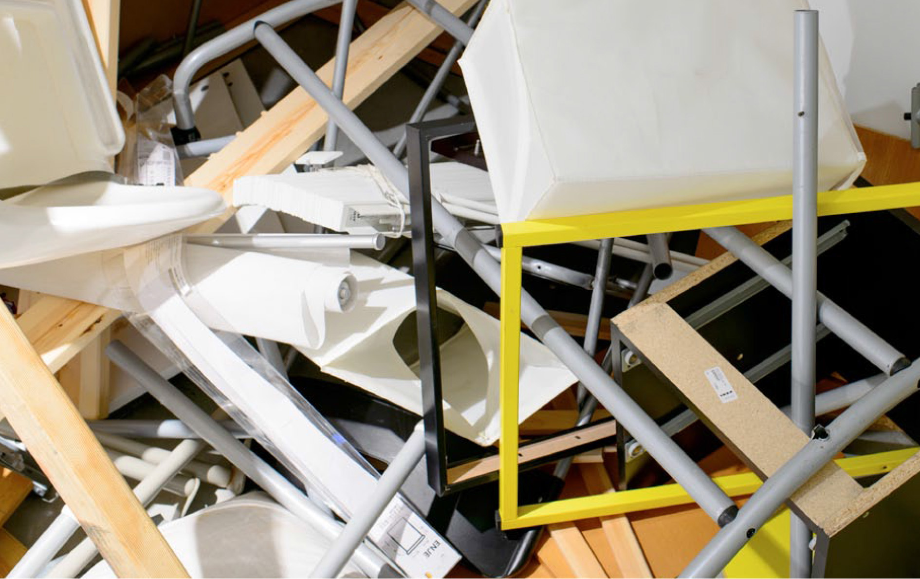
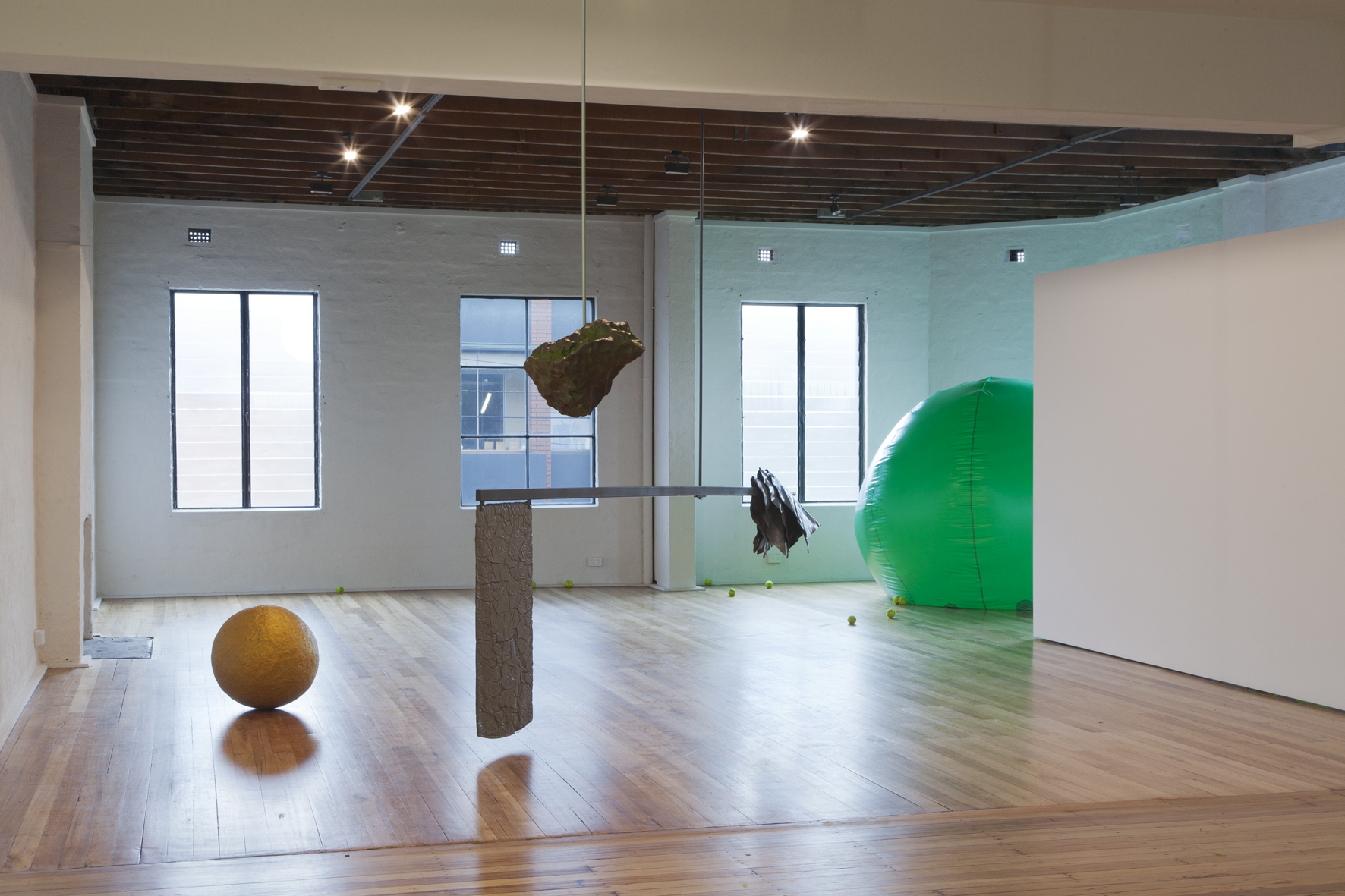
Notes
From Open Source Urbanism
A place for developing and discussing ideas
Contents |
Ideas for projects - 6th August 2008
Possible projects:
- Persistence of Vision bike wheel with readout. Speed, total distance, etc which can create and broadcast feedback that might encourage a change in behaviour. Built from open source resources, this may also lead to a workshop where we can continue the 'open source' process by teaching people to make their own. Project deatils would also be published on the web.
- On-board bike computer that provides details on other bike users in the area. Allowing for spontaneous bike convergence and the formation of a 'bike bus' (based on Arduino and other open source technology).
- Tracking bikes. GPS or RFID. A way of understanding the system as a step toward change.
- Open sourcing the VicRoads bike path counting data, for subsequent use.
All projects fit under the umbrella theme of 'Open Source' and the implications of exposing data to create feedback and the ability to act on or inform behaviour.
Cycling sits as the focus of the projects as it's both personal and kinda public at the same time, it's measurable, it taps into sustainability and public transport issues, and it's cool.
Open Source Urbanism
Reshaping public space in an age of pervasive information.
Cities are the physical manifestation of flows of people; material; money; and increasingly, information. The city is both a product and a generator of these flows. Much of this information – such as temperature, train delays, population density, accident locations and stock prices – is mapped, recorded and broadcast in real-time through the Internet. This data is superimposed on the physical city as a dense digital cloud.
We believe designers need to identify the opportunities this emergent context offers, beyond the current dependence on handsets, interactive façades, and form-driven ‘expressions of the age’.
This (studio/research project) examines the changing role of public space in the context of increased information flows. It explores the way data networks affect our notions of community and investigates the potential this holds for the formation of communal space. Rather than viewing the physical as a mere backdrop for the delivery of data, the (studio/research project) seeks to develop crossovers where physical form and digital information directly inform and shape our urban environment.
and for the research grant...
After an initial review of the field the research will instigate a simulated urban design project. Project control and direction will be based on an open source software model; contributions by participants will dictate the projects direction and possible outcomes. Participants may choose to 'fork' the project in new directions. These forks may in turn supplant the original path, combine back into the main path or die out.
This research will be supported by a cross-disciplinary upper pool studio. Students undertaking the studio will join staff and researchers on an exploration of the field, first through the identification and critical reflection on relevant texts, and then through participation in the collaborative design project.
Mode
Design studio, 3/4 hours contact a week. Mid-level studio: upper-pool Industrial & ('masters') Architecture, and depending on whether we want to do it in the Design Institute, other disciplines also.
Structure
Start with a series of short one week individual exercises that are based on a reading or a concept which is explored simply and in isolation. Along side this theoretical engagement students will be introduced to a number of different skill sets such as programming (visual and coding), basic electronics (digital and analogue), and embedded computing (arduino). Students choose to develop strengths within certain skill sets; i.e. not every student learns how to write code. Borrowing from the computer game world, students define their strengths and weaknesses with a 'character profile'.
Week 5 sees a shift in approach as the major project gets under way. We begin with some basic guidelines, developing a brief which can be interpreted across disciplines. Everyone works on the same project, bringing their unique skills to bear. Project control and direction will be based on an open source software model. Initially the lead developers will be us, however contributions to the project will modify its direction and possible outcomes. If students aren't happy with the direction taken they can 'fork' the project and take other students with them. Project forks may supplant the original path, combine back into the original path, or die out.
We push the students to be conceptually ambitious. Students will need to utilise each others skills sets to see these ambitions realised.
Thoughts
I had a look at the biennale competition text you pointed out, i think it's good for it's focus on community and public space, it sounds relevant and now.
Similar ideas are covered by Sue-Anne Ware in her 'urban livability' (scroll down) statement for the Design Institute in that they both focus on suburbia, new technologies, urban forms, community and sustainability. These are obviously key themes at the moment.
A more evocative - and dystopian - example is Vector Guerillas' film States of Convergence, a speculation on the future of the suburbs as being augmented by real-time data upload of everything in the city. This idea is visualised as a feint neuron-like network branching between some very 'designed' towers.
One of the interesting things that came out of the discussion of this piece at the RAIA conference last month was that the form was almost unnecessary, the real change is invisible, and the towers merely become symbols of the new architecture.
So how do we bridge the digital and the physical? How do you go beyond metaphorical form? (Buildings that look like data networks), or how do you arrive at relevant form? (form that is generated by this data). Like we said, if we can't come up with a design project out of these themes, then it's unlikely the students will either.
I still find something really interesting about this idea that the city is constantly shrouded in data, and that - as DeLanda proposes - the city itself is the product of these flows of data or energy. They are intimately connected, except we normally operate in one or the other.
Fuller managed to bridge politics with environmentalism using geometry by unfolding the earth to make it appear as one continuous landmass. A techno-utopian way to make governments more aware of the global consequences of their actions. It's that kind of project that reminds me of the importance of form, and sometimes I do need reminding.
Project Ideas
Was thinking about the Semapedia QR Code project and the ability to link people to information. Obviously this is why it has such an appeal to advertisers - get the viewer involved. But it would also make an effective activist strategy, eg. canvas nike posters with QR links to sweat-shop articles. In fact this seems more powerful as a disruptive device then a marketing one. Imagine a company uses a QR tag in their campaign (like the telstra one), then someone posts over the tag or alters it to give an alternate meaning. Invisible culture jamming.
Proposal
Ok, a very first attempt at a typical project process:
- Collect: Students learn how to scrape the web for dynamic sources of information: climate data, cctv feeds, search results, map data, etc. (Will this be problematic with RMIT's firewall?).
- Analyse: This data is analysed for its qualitative meaning. What is the social relevance of the statistics? How can it be interpreted? I think this is a really important step to avoid the 'weather station in the shape of a cold-front' project. (Although that does sound kinda cool).
- Generate: This interpreted data is then used as an input for a generative design system that addresses the relevance identified behind the data in the previous step. This is where the scheme takes on some sort of form, in the loosest sense, anything from an interface to a building.
- Evaluate: This form is evaluated not on its technical wizardry, but on how it responds to the qualitative meaning identified in the data above. How does it make the space better? How does it respond to community issues? Is it relevant in the real world?
- Make: If time allows and depending on the project, it would be great to see it carried through toward making.
The key difference is that we're not simulating emergent systems, but tapping into actual emergent systems in the world, interpreting and extending them.
Data Sources
A list of potential sources of data for scraping and use in design processes. Basically everything measurable is being recorded in real-time and published to the internet. So it's no longer important or interesting to be able to access it, it's how you interpret it and use it.
- Video data: CCTV feeds, surf cams, traffic cams.
- Weather data: current temperature, forecast temperature, pressure, warnings, rainfall.
- Ocean data: Live buoy feeds, tides, wind speed, wave frequency & amplitude.
- Solar data: sun angles, daylight hours, photovoltaic generation capacity.
- Traffic data: Accident locations, speed camera locations, speed limits, journey times.
- Public transport data: train lines, timetables, distance to stations, fare zones.
- Map data: Terrain slope, triangulated location, address, distance to amenity (atms, parks, etc.)
- Financial data: stock prices, oil prices, carbon credit value.
- Demographic data: population density, cultural backgrounds, average income, public amenity, tax rates.
- Council data: planning envelopes, neighbourhood character, land use zoning.
The next step might be to tie these to links.
Links
The Emergent City and The Central City by London artist Stanza.
Maps could be the next internet. Dunno how relevant, but definitely interesting. Unfortunately you have to register. "Reordering the internet around this new geographic interface is a project that has been under way for some time. It starts with what engineers at Google call the “base canvas” – a detailed digital representation of the physical world on to which other information can be “hung”. Thanks to the plunging costs of technologies such as digital imaging and geolocation equipment, the world is being mapped, measured, plotted and photographed in almost unimaginable detail."
Locatative Media course at Buffalo. Good intro text, but like the one above, very handset focussed. The future can't be about handsets, it just can't.

